
Start
Subashiri 5th station, 1970 m
Climbing
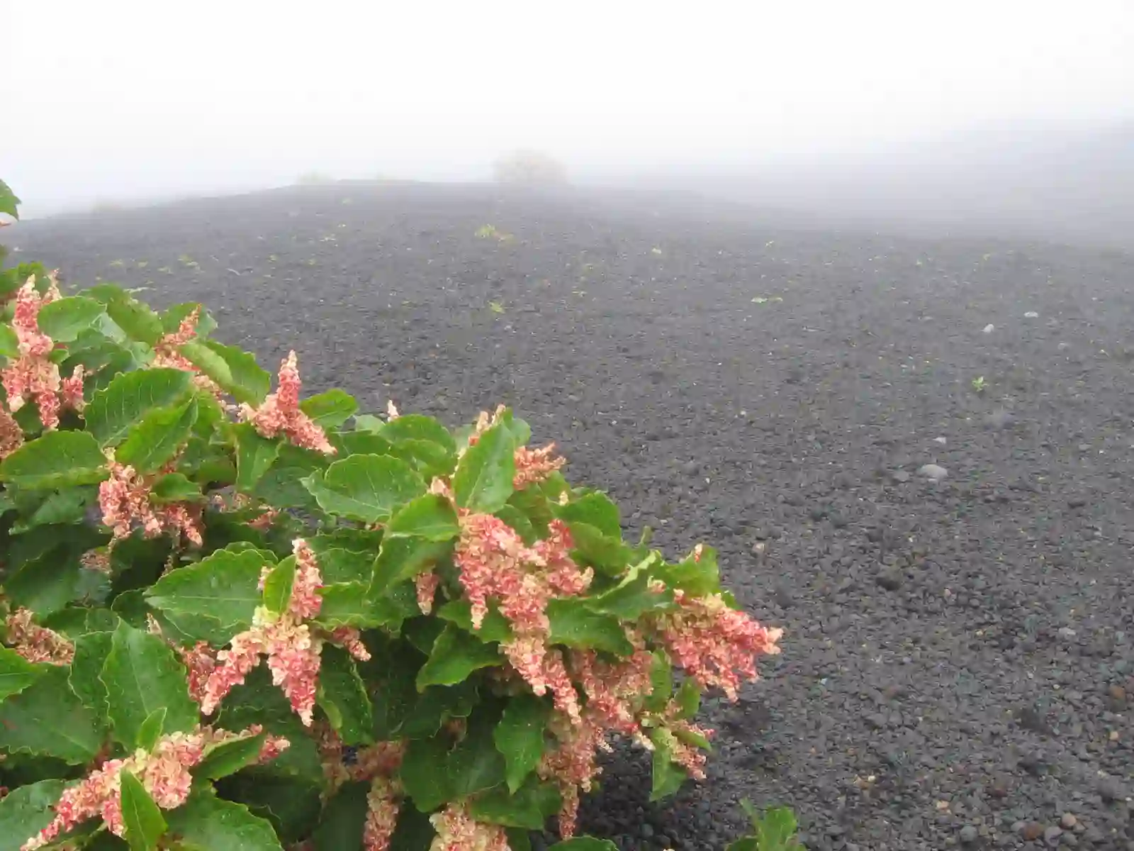
The east route. It starts lower than the others, so it begins in real forest, stays quiet most of the way, and gives you the Osunabashiri, a long volcanic sand slope you can run down in a fraction of the time it took to climb.
Subashiri 5th station, 1970 m
About 1810 m
Around 6.5 km up
5 to 8 hours up, 3 to 5 hours down
Around 5
East, Shizuoka prefecture
The first hour is shaded larch and birch forest, which no other Fuji trail offers. Above the treeline the path opens onto loose volcanic gravel and stays that way to the 8th station, where it merges with the Yoshida Trail for the final push. From that junction upwards you share the crowds; below it you may see only a handful of people.
The descent is the reason many climbers choose this side. The Osunabashiri drops roughly 1000 m of soft ash and cinder in long strides. Gaiters and a dust mask make it comfortable, and sunglasses help when the wind lifts the ash.
Because Subashiri joins Yoshida high up, mixing the two is the single most common navigation mistake on the mountain. At the Hachigome junction watch for the yellow Subashiri signs, or you will end up at the wrong 5th station and a long bus detour.
Odakyu or JR to Gotemba, then a seasonal bus to the Subashiri 5th station. Around 3 hours door to trailhead.
Direct buses run from Shinjuku to Gotemba station year round; the climbing bus above Gotemba runs in season only.
Park in Gotemba during the traffic restriction period and take the shuttle. Outside those dates the road to the 5th station is open.